A Journey through Wharfedale – Part 1
A Journey through Wharfedale 1 – Moving upstream from Bolton Abbey ……….
Wharfedale is just one of the many valleys that, along with moors and fells, forests and rivers, form the picturesque Yorkshire Dales. A stunningly beautiful part of God’s own county which makes up but one of our country’s National Parks. It is surrounded by other National Parks and AONBs’ (Areas of Outstanding Natural Beauty) which stretch from East Coast to West Coast. (or West to East if you prefer the prevailing wind at your back)
The journey starts at Bolton Abbey and traverses up to the hamlet of Cray near the valley head. There is a lot to see on this journey, far too much for one blog so I will split it into several blogs over several months. However, the plan is to give you a taster at the end of each blog of what is to come by adding images from further up the valley.
Although the title includes the word “journey”, the speed at which you pass through the wonders of Wharfedale depends on your chosen mode of transport. And if you have a few days to spare, feel energetic and you really want to immerse yourself in one of Yorkshire’s geological marvels you could always walk.
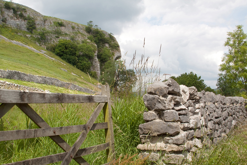
Speaking of Geology, this journey starts in the land of Millstone Grit, which is abundant in the Pennine hills, and gradually changes to Limestone as we pass through the Craven fault lines. For further information about owning any of my wall art please click on any of the images accompanying this blog.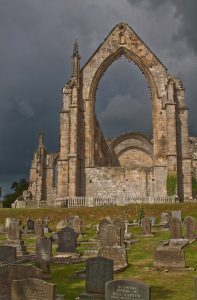
Millstone is very abrasive to most things, especially skin, and was used to create the circular stones for grinding flour. Hence the name and to look at the grit (or coarse sands) is evident. Limestone is much softer, dissolves in water easily as is evident at places like Malham Cove and Gordale Scar in the next valley where erosion over millions of years has produced vast structures with jaw dropping beauty, as well as many miles of underground caverns.
The first part of our journey is through land belonging to the Chatsworth family otherwise known as the Dukes of Devonshire. It consists largely of wooded sides with the river Wharfe running through on its way to join the Ouse, Humber and ultimately the North Sea. Various parking exists, some with refreshments, and public access footpaths run through the land.
The most notable structure here are the ruins (and restored church) of Bolton Priory. Occupied by Augustinian monks over almost four centuries (1154 -1539). Services are still held in the restored church of St Mary and St Cuthbert. Land locally is used for mainly the grazing of sheep and cattle.
The dramatic narrowing of the valley in Bolton woods up stream creates the most beautiful and most lethal part of the river Wharfe. The Strid is where the riverbed effectively turns on its side and forces a sixty-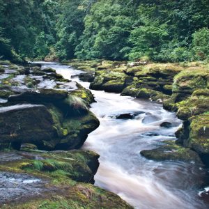 foot-wide river through a space of 15 feet, but so deep nobody really knows how deep it is. Millions of years of water passage has produced fantastic shapes in the rock with underwater caves that take no prisoners. This beautiful attraction has a 100% fatality record for those who have foolishly tried to jump across. With bodies turning up scores of miles downstream many months later. Some not at all.
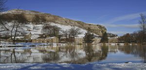
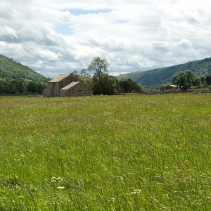
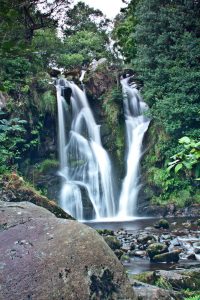
The next blog in this series will cover from Strid Woods, as they are locally called, up to Grassington. In the meantime, as promised, some of the rest of our journey is told in images most of which are available from my online shop where you will find locations with further information. They show the valley throughout the seasons. Please explore at your leisure and if you have any questions please just ASK! ! ! !
See you next time